Discover Ontario's history as told through its plaques
2004 - Now in our 15th Year - 2019
To find out all about me, you can visit the Home Page
Looking at this page on a smartphone?
For best viewing, hold your phone
in Landscape mode (Horizontal)
Mohawk Village
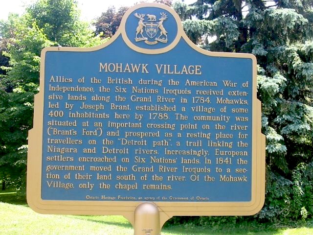
Photo by Alan L Brown - Posted June, 2004
Photo from Google Street View ©2015 Google - Posted February, 2015
Plaque Location
The City of Brantford
On Mohawk Street .5 km east of Birkett Lane
Coordinates: N 43 07.463 W 80 14.122 |
Plaque Text
Allies of the British during the American War of Independence, the Six Nations Iroquois received extensive lands along the Grand River in 1784. Mohawks, led by Joseph Brant, established a village of some 400 individuals here by 1788. The community was situated at an important crossing point on the river ("Brant's Ford") and prospered as a resting place for travellers on the "Detroit path", a trail linking the Niagara and Detroit Rivers. Increasingly European settlers encroached on Six Nations' lands. In 1841 the government moved the Grand River Iroquois to a section of their land south of the river. Of the Mohawk Village, only the chapel remains.
More
Information
More
First Nations