Discover Ontario's history as told through its plaques
2004 - Now in our 14th Year - 2018
To see what's new on this site, you can visit the Home Page
Looking at this page on a smartphone?
For best viewing, hold your phone
in Landscape mode (Horizontal)
The Siege of Detroit 1763
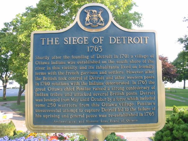
Photo by Alan L Brown - Posted September, 2004
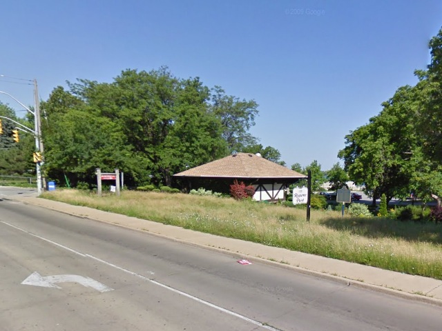
Photo from Google Street View ©2011 Google - Posted February, 2011
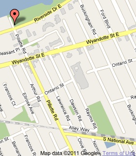
Plaque Location
The County of Essex
The City of Windsor
On the northeast corner of
Riverside Drive East and Pillette Road
Coordinates: N 42 19.711 W 82 58.885 |
 |
Plaque Text
Shortly after the founding of Detroit in 1701 a village of Ottawa Indians was established on the south shore of the river in this vicinity, and its inhabitants lived on friendly terms with the French garrison and settlers. However, after the British took control of Detroit and other western posts in 1760, relations with the Indians deteriorated. In 1763 the great Ottawa chief, Pontiac, raised a strong confederacy of Indian tribes and attacked several British posts. Detroit was besieged from May until October by a force which included some 250 warriors from this Ottawa village. Pontiac's unsuccessful attempt to capture Detroit led to the failure of his uprising and general peace was re-established in 1765.
More
Information
More
Assorted Events
More
Windsor Plaques
Here are the visitors' comments for this page.
(none yet)
Here's where you can send me a comment for this page.
Note: Your email address will be posted at the end of your comment so others can respond to you unless you request otherwise.
Note: Comments are moderated. Yours will appear on this page within 24 hours (usually much sooner).
Note: As soon as I have posted your comment, a reply to your email will be sent informing you.
To send me your comment, click .
Thanks
Alan L Brown
Webmaster
Note: If you wish to send me a personal email, click .