Discover Ontario's history as told through its plaques
2004 - Now in our 14th Year - 2018
To see what's new on this site, you can visit the Home Page
Looking at this page on a smartphone?
For best viewing, hold your phone
in Landscape mode (Horizontal)
Rideau Canal 1826-1832
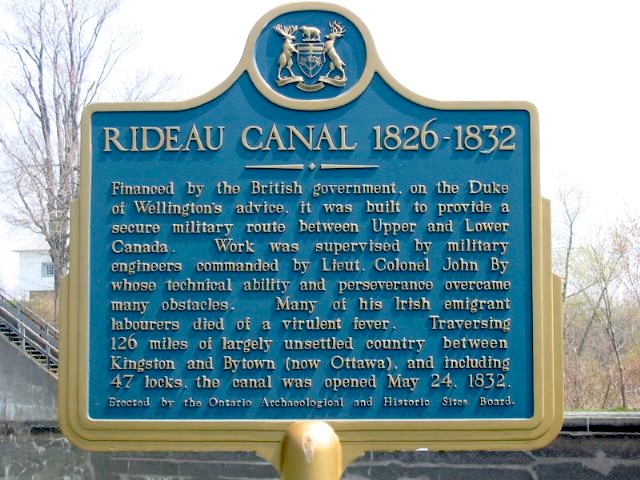
Photo by Alan L Brown - Posted June, 2004
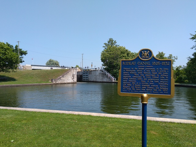
Photo by Brian Bockus - Posted October, 2018
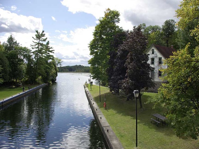
Photo by contributor Geoff Chalcraft - September, 2007
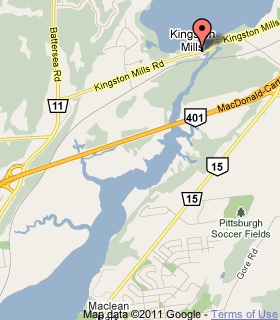
Plaque Location
The County of Frontenac
The City of Kingston
On the south side of Kingston Mills Road
just west of the bridge over the Rideau Canal
Coordinates: N 44 17.563 W 76 26.590 |
 |
Plaque Text
Financed by the British government, on the Duke of Wellington's advice, it was built to provide a secure military route between Upper and Lower Canada. Work was supervised by military engineers commanded by Lieut. Colonel John By whose technical ability and perseverance overcame many obstacles. Many of his Irish emigrant labourers died of a virulent fever. Traversing 203 km of largely unsettled country between Kingston and Bytown (now Ottawa), and including 47 locks, the canal was opened May 24, 1832.
Related Ontario plaques
The Rideau Canal
The Rideau Waterway
Lieutenant-Colonel John By, R.E.
The Royal Sappers and Miners
More
Information
More
Canals
More
Kingston Plaques
Here are the visitors' comments for this page.
(none yet)
Here's where you can send me a comment for this page.
Note: Your email address will be posted at the end of your comment so others can respond to you unless you request otherwise.
Note: Comments are moderated. Yours will appear on this page within 24 hours (usually much sooner).
Note: As soon as I have posted your comment, a reply to your email will be sent informing you.
To send me your comment, click .
Thanks
Alan L Brown
Webmaster
Note: If you wish to send me a personal email, click .