Discover Ontario's history as told through its plaques
2004 - Now in our 11th Year - 2015
To see what's new on this site, you can visit the Home Page
Looking at this page on a smartphone?
For best viewing, hold your phone
in Landscape mode (Horizontal)
Niagara Land Purchases
Photos by contributor Wayne Adam - Posted December, 2009
Plaque Location
The Region of Niagara
The Town of Niagara-on-the-Lake
On the north side of Castlereagh Street
between King and Davy streets
Coordinates: N 43 15.134 W 79 04.320 |
Plaque Text
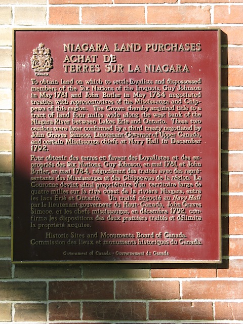
To obtain land on which to settle Loyalists and dispossessed members of the Six Nations of the Iroquois, Guy Johnson in May 1781 and John Butler in May 1784 negotiated treaties with representatives of the Mississauga and Chippewa of this region. The Crown thereby acquired title to a tract of land 6.4 km wide along the west bank of the Niagara River between Lakes Erie and Ontario. These two cessions were later confirmed by a third treaty negotiated by John Graves Simcoe, Lieutenant-Governor of Upper Canada, and certain Mississauga chiefs at Navy Hall in December 1792.
Related Ontario plaques
United Empire Loyalists
The Six Nations
Lieutenant-Colonel John Butler 1725-1796
John Graves Simcoe 1752-1806
More
First Nations
More
Niagara-on-the-Lake Plaques
Here are the visitors' comments for this page.
(none yet)
Here's where you can sent me a comment for this page.
Note: If your comment includes a question, it's best to include your email address in your comment so others can respond to you.
Note: Comments are moderated. Yours will appear on this page within 24 hours (usually much sooner).
Note: As soon as I have posted your comment, a reply to your email will be sent informing you.
To send me your comment, click .
Thanks
Alan L Brown
Webmaster
Note: If you wish to send me a personal email, click .