Discover Ontario's history as told through its plaques
2004 - Now in our 15th Year - 2019
To find out all about me, you can visit the Home Page
Looking at this page on a smartphone?
For best viewing, hold your phone
in Landscape mode (Horizontal)
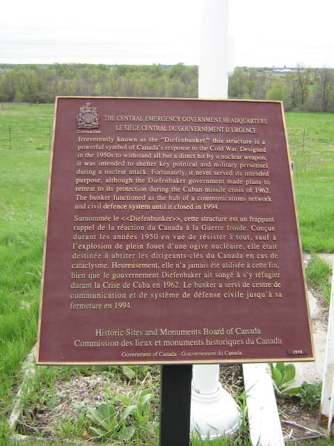
The Central Emergency Government Headquarters
Photos by Alan L Brown - Posted June, 2009
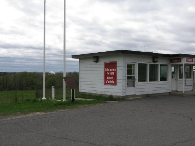
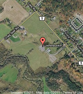
Plaque Location
The City of Ottawa
Near the flagpoles at the "Diefenbunker"
on Carp Road (Road 5)
2.5 km north of March Road (Road 49)
Coordinates: N 45 21.093 W 76 02.875 |
 |
Plaque Text
Irreverently known as the "Diefenbunker," this structure is a powerful symbol of Canada's response to the Cold War. Designed in the 1950s to withstand all but a direct hit by a nuclear weapon, it was intended to shelter key political and military personnel during a nuclear attack. Fortunately, it never served its intended purpose, although the Diefenbaker government made plans to retreat to its protection during the Cuban missile crisis of 1962. The bunker functioned as the hub of a communications network and civil defence system until it closed in 1994.
More
Information
More
Ottawa Plaques
Here are the visitors' comments for this page.
(none yet)
Here's where you can send me a comment for this page.
Note: Your email address will be posted at the end of your comment so others can respond to you unless you request otherwise.
Note: Comments are moderated. Yours will appear on this page within 24 hours (usually much sooner).
Note: As soon as I have posted your comment, a reply to your email will be sent informing you.
To send me your comment, click .
Thanks
Alan L Brown
Webmaster
Note: If you wish to send me a personal email, click .