Ontario's Historical Plaques
at ontarioplaques.com
Learn a little Ontario history as told through its plaques
The Buxton Settlement
and
The Buxton Settlement 1849
There are two plaques about this settlement
in The Municipality of Chatham-Kent.
Both can be seen on this page.

Photo by Alan L Brown - Posted June, 2009
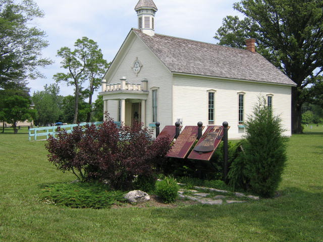
Photo by Alan L Brown - Posted June, 2009
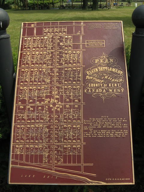
Photo by contributor Wayne Adam - Posted September, 2011
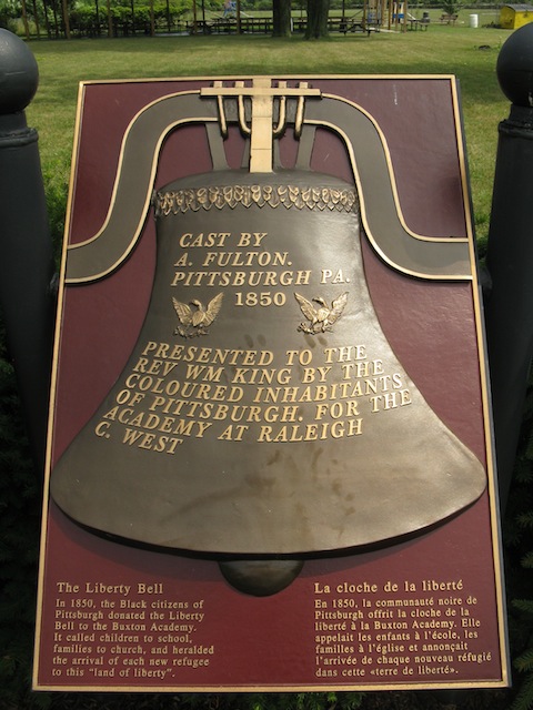
Photo by contributor Wayne Adam - Posted September, 2011
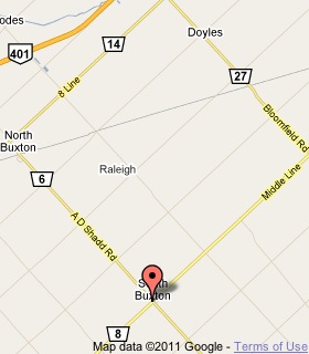
Plaque Location
The Municipality of Chatham-Kent
Just south of North Buxton, at 21979 A.D. Shadd Road (Road 6)
1.3 km south of 8th Line (Road 14)
Coordinates: N 42 18.369 W 82 13.261 |
 |
Plaque Text
From the shores of Lake Erie to the seventh concession, from Dillon Road on the east to Drake Road on the west, Buxton's ordered fields are dotted with churches and homes from the epic experience of the Underground Railroad. In 1849, Reverend William King arrived with fifteen former slaves at a 3600 ha tract of swampy, forested land. More refugees followed, buying and clearing 20 ha homesteads, establishing industries, churches and schools. The settlers created the regular pattern of roads and drainage ditches seen today, transforming the landscape into the prosperous Elgin Settlement, as it was then called, where neat cottages spoke of industry and thrift, and children received a classical education. Buxton lives on today through descendants of these determined immigrants who carved out a free life for themselves and their families on the tranquil plains of southwestern Ontario.
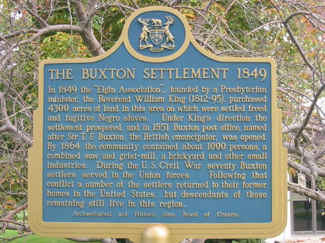
Photo by Alan L Brown - Posted August, 2004
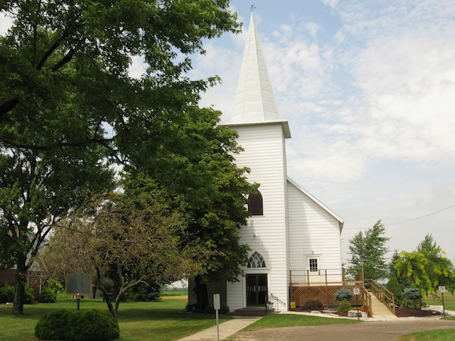
Photo by contributor Wayne Adam - Posted September, 2011
Plaque Location
The Municipality of Chatham-Kent
On the northwest corner of Road 6 and Road 8
Coordinates: N 42 16.459 W 82 10.950 |
 |
Plaque Text
In 1849 the "Elgin Association", founded by a Presbyterian minister, the Reverend William King (1812-95), purchased 1740 ha of land in this area on which were settled freed and fugitive Negro slaves. Under King's direction the settlement prospered, and in 1851 Buxton post office, named after Sir T.F. Buxton, the British emancipator, was opened. By 1864 the community contained about 1000 persons, a combined saw and grist-mill, a brickyard and other small industries. During the U.S. Civil War seventy Buxton settlers served in the Union forces. Following that conflict a number of the settlers returned to their former homes in the United States, but descendants of those remaining still live in this region.
Related Ontario plaques
The Underground Railroad in Canada
The Sandwich First Baptist Church
John Brown's Convention 1858
Josiah Henson (1789-1883)
Mary Ann Shadd Cary 1823-1893
More
Information
More
Settlements
More
Black History
Here are the visitors' comments for this page.
(none yet)
Here's where you can write a comment for this page.
Note: If you wish to ask me a question, please use the email link in the menu.
Note: Comments are moderated. Yours will appear on this page within 24 hours
(usually much sooner).