Ontario's Historical Plaques
at ontarioplaques.com
Learn a little Ontario history as told through its plaques
Philip Turnor ca. 1751-1800
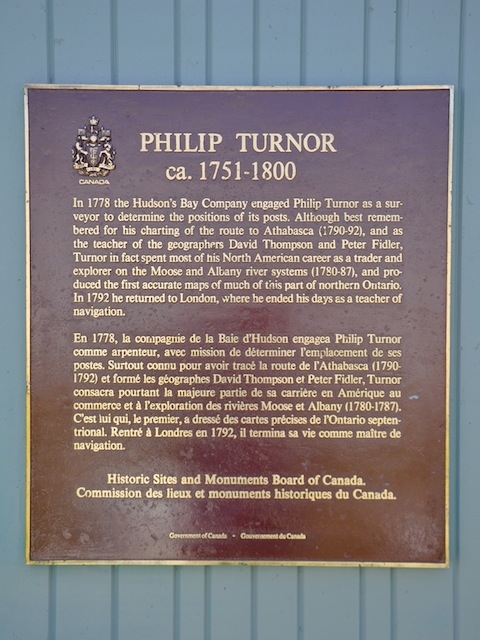
Photo by contributor Parks Canada - Posted June, 2012
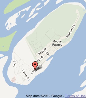
Plaque Location
The District of Cochrane
The Town of Moosonee
In Moose Factory
Coordinates: N 51 15.149 W80 36.333 |
 |
Plaque Text
In 1788 the Hudson's Bay Company engaged Philip Turnor as a surveyor to determine the positions of its posts. Although best remembered for his charting of the route to Athabasca (1790-92), and as a teacher of the geographers David Thompson and Peter Fidler, Turnor in fact spent most of his North American career as a trader and explorer on the Moose and Albany river systems (1780-87), and produced the first accurate maps of much of this part of northern Ontario. In 1792 he returned to London, where he ended his days as a teacher of navigation.
More
Information
More
Surveyors
Here are the visitors' comments for this page.
(none yet)
Here's where you can write a comment for this page.
Note: If you wish to ask me a question, please use the email link in the menu.
Note: Comments are moderated. Yours will appear on this page within 24 hours
(usually much sooner).