Here's where you can learn a little Ontario history
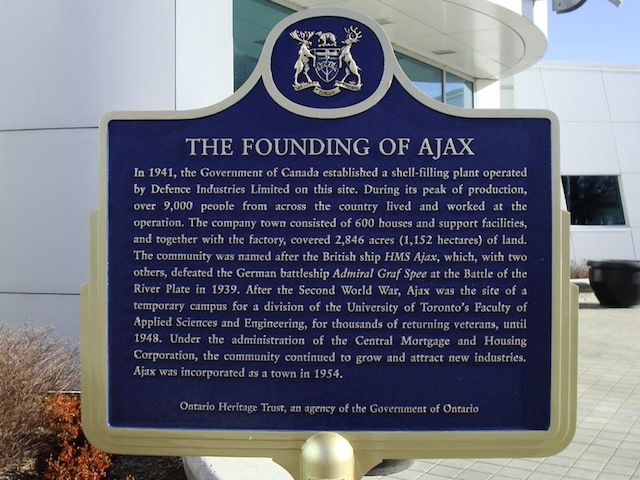
The Founding of Ajax
Photos by contributor Karl Jacob - December, 2010
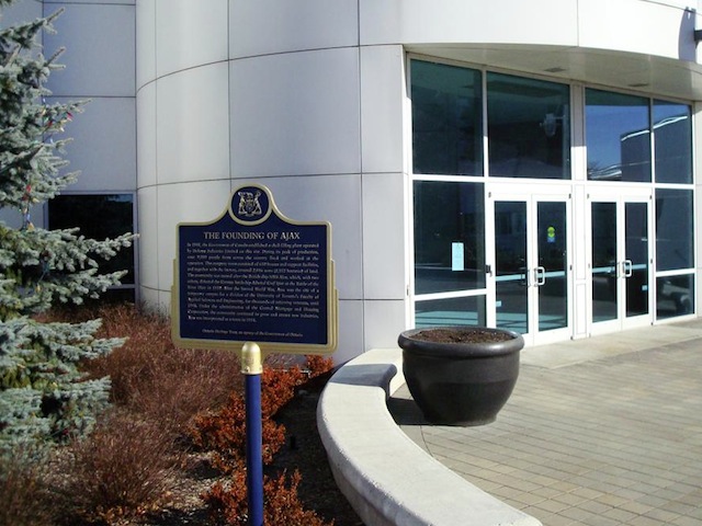
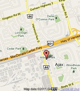
Plaque Location
The Region of Durham
The Town of Ajax
At the northeast corner of
Harwood Avenue South (Road 44) and Kings Crescent
just south of Highway 401
Coordinates: N 43 51.034 W 79 01.235 |
 |
Plaque Text
In 1941, the Government of Canada established a shell-filling plant operated by Defence Industries Limited on this site. During its peak production, over 9,000 people from across the country lived and worked at the operation. The company town consisted of 600 houses and support facilities, and together with the factory, covered 2,846 acres (1,152 hectares) of land. The community was named after the British ship HMS Ajax, which, with two others, defeated the German battleship Admiral Graf Spee at the Battle of the River Plate in 1939. After the Second World War, Ajax was the site of a temporary campus for a division of the University of Toronto's Faculty of Applied Sciences and Engineering, for thousands of returning veterans, until 1948. Under the administration of the Central Mortgage and Housing Corporation, the community continued to grow and attract new industries. Ajax was incorporated as a town in 1954.
More
Information
More
Settlements
Here are the comments for this page.
(none yet)
Here's where you can write a comment for this page.
Note: If you wish to ask me a question, please use the email link in the menu.
Note: Comments are moderated. Yours will appear on this page within 24 hours
(usually much sooner).