Ontario's Historical Plaques
at ontarioplaques.com
Learn a little Ontario history as told through its plaques
The Great Sauk Trail
Photos by contributor Wayne Adam - Posted September, 2011
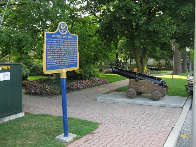
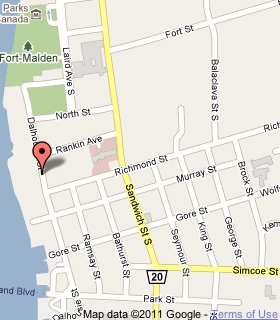
Plaque Location
The County of Essex
The Town of Amherstburg
On the west side of Dalhousie Street just north of Richmond Street
Coordinates: N 42 06.180 W 83 06.785 |
 |
Plaque Text
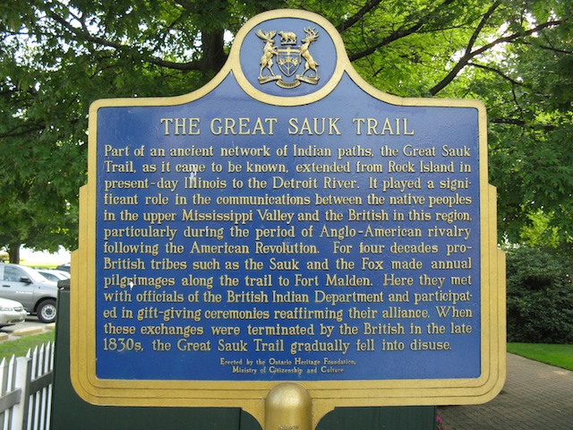
Part of an ancient network of Indian paths, the Great Sauk Trail, as it came to be known, extended from Rock Island in present-day Illinois to the Detroit River. It played a significant role in the communications between the native peoples in the upper Mississippi Valley and the British in this region, particularly during the period of Anglo-American rivalry following the American Revolution. For four decades pro-British tribes such as the Sauk and the Fox made annual pilgrimages along the trail to Fort Malden. Here they met with officials of the British Indian Department and participated in gift-giving ceremonies reaffirming their alliance. When these exchanges were terminated by the British in the late 1830s, the Great Sauk Trail gradually fell into disuse.
Related Ontario plaque
Fort Amherstburg (Fort Malden)
More
Information
More
Roads
Here are the visitors' comments for this page.
(none yet)
Here's where you can write a comment for this page.
Note: If you wish to ask me a question, please use the email link in the menu.
Note: Comments are moderated. Yours will appear on this page within 24 hours
(usually much sooner).
Note: As soon as the comment is posted, a link to it will appear on the home page in the section "Here are the 10 latest plaque pages with a new comment added by a visitor to this site."