at ontarioplaques.com
Learn a little Ontario history as told through its plaques
The Founding of Tecumseh

Photo by Alan L Brown - Posted September, 2004
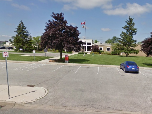
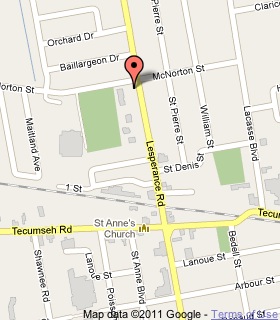
Photo from Google Street View ©2011 Google - Posted February, 2011
Plaque Location
The County of Essex
The Town of Tecumseh
On the southwest corner of
Lesperance Road and McNorton Street
Coordinates: N 42 18.971 W 82 53.261 |
 |
Plaque Text
The intersecting of the Tecumseh Road, named for the eminent Indian leader, by the Great Western Railroad line in 1854 stimulated settlement in this largely French-Canadian area. A community gradually developed, and in 1873 it contained a sawmill, several stores and hotels, and a population of about 200. The village, first called Ryegate, and later Tecumseh, evolved from a local service centre to a shipping point for area timber, cordwood, and especially grain. The establishment of the fruit canning industry by 1903 further diversified local business activity, but the suburban extension of the Sandwich, Windsor, and Amherstburg Railway to Tecumseh in 1907 was a major factor in its subsequent growth. In 1921 Tecumseh was incorporated as a town with a population of 978.
More
Information
More
Settlements
Here are the visitors' comments for this page.
(none yet)
Here's where you can write a comment for this page.
Note: If you wish to ask me a question, please use the email link in the menu.
Note: Comments are moderated. Yours will appear on this page within 24 hours
(usually much sooner).
Note: As soon as the comment is posted, a link to it will appear on the home page in the section "Here are the 10 latest plaque pages with a new comment added by a visitor to this site."