Here's where you can learn a little Ontario history
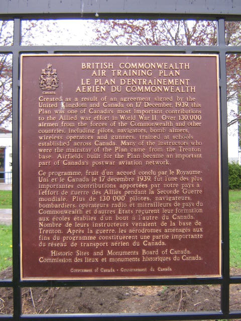
British Commonwealth Air Training Plan
Photos by Alan L Brown - May, 2009
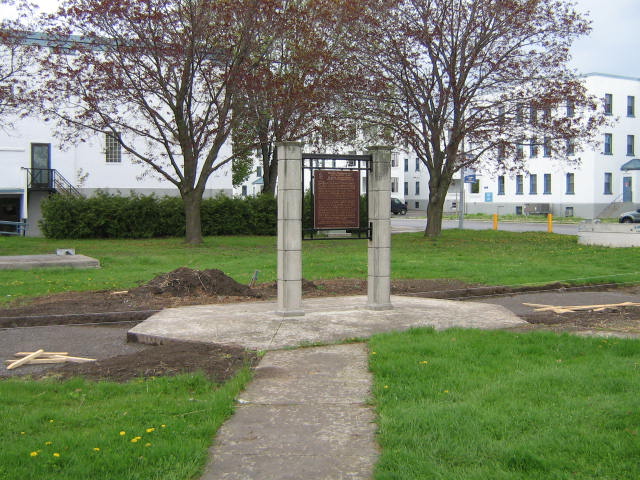
Plaque Location
The County of Hastings
The City of Quinte West
In Trenton, at Canadian Forces Base Trenton,
south of Dundas Street East
at the traffic lights at Anson Avenue in a small parkette
between Yukon and Oxford Streets
Coordinates: N 44 06.473 W 77 31.918 |
 |
Plaque Text
Created as a result of an agreement signed by the United Kingdom and Canada on 17 December, 1939 this Plan was one of Canada's most important contributions to the Allied war effort in World War II. Over 130,000 airmen from the forces of the Commonwealth and other countries, including pilots, navigators, bomb aimers, wireless operators and gunners, trained at schools established across Canada. Many of the instructors who were the mainstay of the Plan came from the Trenton base. Airfields built for the Plan became part of Canada's postwar aviation network.
Related Ontario plaque pages
Royal Canadian Air Force No. 6 Service Flying Training School
British Commonwealth Air Training Plan
RCAF Technical Training School
More
Information
More
Events
Here are the comments for this page.
(none yet)
Here's where you can write a comment for this page.
Note: If you wish to ask me a question, please use the email link in the menu.
Note: Comments are moderated. Yours will appear on this page within 24 hours
(usually much sooner).