Ontario's Historical Plaques
at ontarioplaques.com
Learn a little Ontario history as told through its plaques
The Founding of Goderich
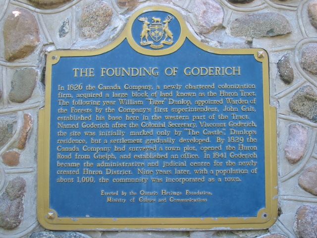
Photo by Alan L Brown - October, 2004
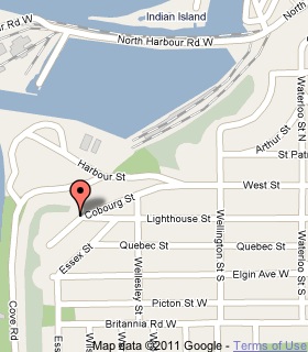
Plaque Location
The County of Huron
The Town of Goderich
On a stone cairn at the junction of Lighthouse and Colbourg Streets
Coordinates: N 43 44.535 W 81 43.400 |
 |
Plaque Text
In 1826 the Canada Company, a newly chartered colonization firm, acquired a large block of land known as the Huron Tract. The following year William 'Tiger' Dunlop, appointed Warden of the Forests by the Company's first superintendent, John Galt, established his base here in the western part of the Tract. Named Goderich after the Colonial Secretary, Viscount Goderich, the site was initially marked only by 'The Castle', Dunlop's residence, but a settlement gradually developed. By 1829 the Canada Company had surveyed a town plot, opened the Huron Road from Guelph, and established an office. In 1841 Goderich became the administrative and judicial centre for the newly created Huron District. Nine years later, with a population of about 1,000, the community was incorporated as a town.
Related Ontario plaque pages
'Tiger' Dunlop 1792-1848
John Galt 1779-1839
More
Information
More
Settlements
Here are the comments for this page.
(none yet)
Here's where you can write a comment for this page.
Note: If you wish to ask me a question, please use the email link in the menu.
Note: Comments are moderated. Yours will appear on this page within 24 hours
(usually much sooner).