Here's where you can learn a little Ontario history
The Founding of Bayfield
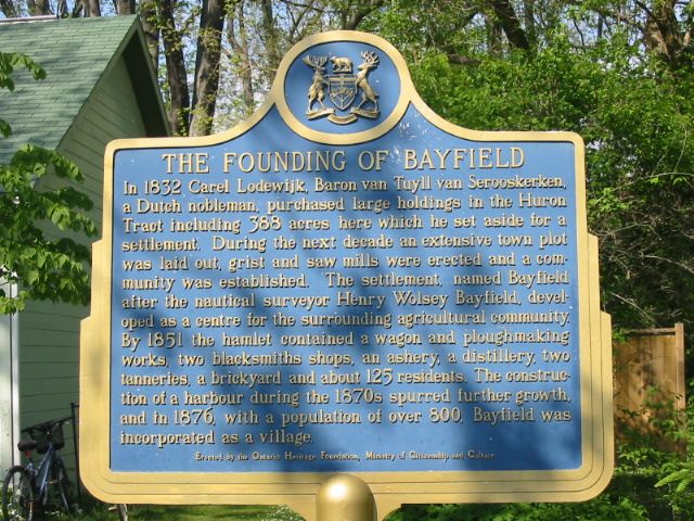
Photo by Alan L Brown - June, 2005
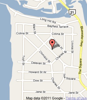
Plaque Location
The County of Huron
The Municipality of Bluewater
In Bayfield, in front of the library on Main Street North
between Charles and Catherine Streets
Coordinates: N 43 33.884 W 81 42.044 |
 |
Plaque Text
In 1832 Carel Lodewijk, Baron van Tuyll van Serooskerken, a Dutch nobleman, purchased large holdings in the Huron Tract including 157 ha here which he set aside for a settlement. During the next decade an extensive town plot was laid out, grist and saw mills were erected and a community was established. The settlement, named Bayfield after the nautical surveyor Henry Wolsey Bayfield, developed as a centre for the surrounding agricultural community. By 1851 the hamlet contained a wagon and ploughmaking works, two blacksmiths shops, an ashery, a distillery, two tanneries, a brickyard and about 125 residents. The construction of a harbour during the 1870s spurred further growth, and in 1876, with a population of over 800, Bayfield was incorporated as a village.
More
Information
More
Settlements
Here are the comments for this page.
(none yet)
Here's where you can write a comment for this page.
Note: If you wish to ask me a question, please use the email link in the menu.
Note: Comments are moderated. Yours will appear on this page within 24 hours
(usually much sooner).