Ontario's Historical Plaques
at ontarioplaques.com
Learn a little Ontario history as told through its plaques
Pointe au Baril
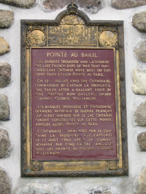
Photo by Alan L Brown - Posted July, 2009
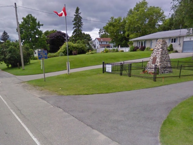
Photo from Google Street View ©2011 Google - Posted March, 2011
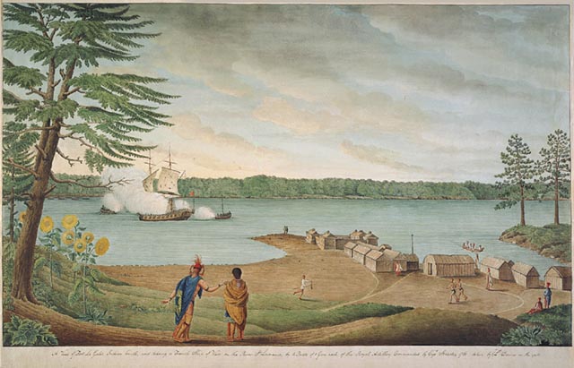
Photo Source - Wikipedia
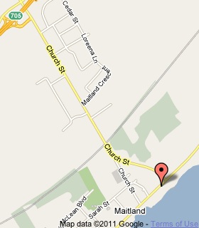
Plaque Location
The United Counties of Leeds & Grenville
The Township of Augusta
On the east side of Maitland, on the north side of Road 2
street number 1286
Coordinates: N 44 38.255 W 75 36.575 |
 |
Plaque Text
The barques "Iroquoise" amd "Outaouaise", the last French ships of war that navigated Lake Ontario, were built on this point, then called Pointe au Baril. On 17th August, 1760, the Outaouaise, commanded by Captain la Broquerie, was taken after a gallant fight, by five British row galleys, under Colonel George Williamson.
More
Events
Here are the visitors' comments for this page.
Posted March 1, 2012
Can you please state the source and author of the illustration showing the naval battle and describe its context. [Click the link under the illustration.]
Here's where you can write a comment for this page.
Note: If you wish to ask me a question, please use the email link in the menu.
Note: Comments are moderated. Yours will appear on this page within 24 hours
(usually much sooner).