Here's where you can learn a little Ontario history
Bay of Quinte Loyalist Settlement
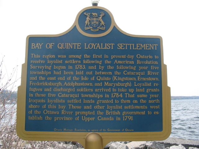
Photo by Alan L Brown - May, 2004

Photo by contributor Wayne Adam - November, 2010
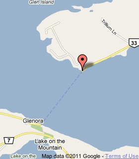
Plaque Location
The County of Lennox and Addington
The Town of Greater Napanee
At the dock at the eastern terminus of the
Glenora Ferry on Highway 33
Coordinates: N 44 02.884 W 77 03.036 |
 |
Plaque Text
This region was among the first in present day Ontario to receive loyalist settlers following the American Revolution. Surveying began in 1783, and by the following year five townships had been laid out between the Cataraqui River and the east end of the Isle of Quinte (Kingstown, Ernestown, Fredericksburgh, Adolphustown, and Marysburgh). Loyalist refugees and discharged soldiers arrived to take up land grants in these five Cataraqui townships in 1784. That same year, Iroquois loyalists settled lands granted to them on the north shore of this bay. These and other loyalist settlements west of the Ottawa River prompted the British government to establish the province of Upper Canada in 1791.
Related Ontario plaque pages
United Empire Loyalists
Hay Bay Church 1792
The Loyalist Landing Place 1784
Loyalist Landing at Cataracoui
Loyalist Memorial Church
Related Toronto plaque page
Loyalists In Upper Canada
More
Settlements
Here are the comments for this page.
(none yet)
Here's where you can write a comment for this page.
Note: If you wish to ask me a question, please use the email link in the menu.
Note: Comments are moderated. Yours will appear on this page within 24 hours
(usually much sooner).