Here's where you can learn a little Ontario history
The Founding of Bath
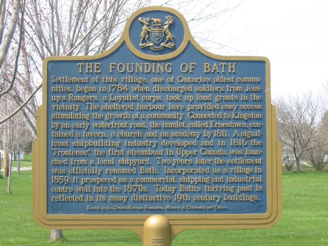
Photo by Alan L Brown - May, 2004
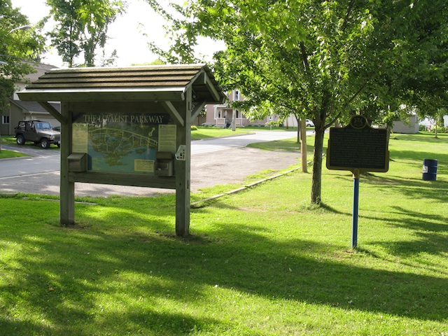
Photo by contributor Wayne Adam - December, 2009
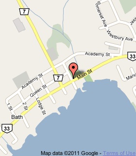
Plaque Location
The County of Lennox and Addington
The Township of Loyalist
In Bath, in a park on the northeast corner of
Main Street (Highway 33) and Fairfield Street
a block east of Church Street (Road 7)
Coordinates: N 44 11.001 W 76 46.489 |
 |
Plaque Text
Settlement of this village, one of Ontario's oldest communities, began in 1784 when discharged soldiers from Jessup's Rangers, a Loyalist corps, took up land grants in the vicinity. The sheltered harbour here provided easy access stimulating the growth of a community. Connected to Kingston by an early waterfront road, the hamlet, called Ernestown, contained a tavern, a church and an academy by 1811. A significant shipbuilding industry developed and in 1816 the "Frontanac", the first steamboat in Upper Canada, was launched from a local shipyard. Two years later the settlement was officially renamed Bath. Incorporated as a village in 1859, it prospered as a commercial, shipping and industrial centre well into the 1870s. Today Bath 's thriving past is reflected in its many distinctive 19th century buildings.
More
Information
More
Settlements
Here are the comments for this page.
(none yet)
Here's where you can write a comment for this page.
Note: If you wish to ask me a question, please use the email link in the menu.
Note: Comments are moderated. Yours will appear on this page within 24 hours
(usually much sooner).