Ontario's Historical Plaques
at ontarioplaques.com
Learn a little Ontario history as told through its plaques
Ailsa Craig
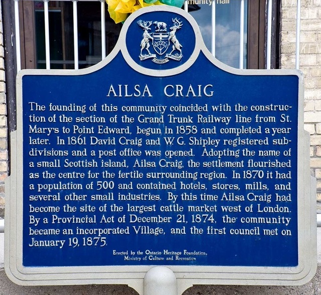
Photo by contributor Tony White - Posted July, 2007
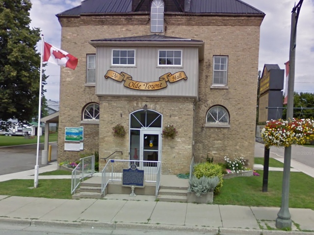
Photo from Google Street View ©2010 Google - Posted December, 2010
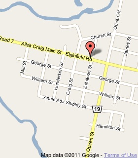
Plaque Location
The County of Middlesex
The Township of North Middlesex
In Ailsa Craig, on the northwest corner of
Main Street (Highway 7) and Jameson Street
Coordinates: N 43 08.845 W 81 32.118 |
 |
Plaque Text
The founding of this community coincided with the construction of the section of the Grand Trunk Railway line from St. Mary's to Point Edward, begun in 1858 and completed a year later. In 1861 David Craig and W.G. Shipley registered subdivisions and a post office was opened. Adopting the name of a small Scottish island, Ailsa Craig, the settlement flourished as the centre for the fertile surrounding region. In 1870 it had a population of 500 and contained hotels, stores, mills and several other small industries. By this time Ailsa Craig had become the site of the largest cattle market west of London. By a Provincial Act of December 21, 1874, the community became an incorporated Village, and the first council met on January 19, 1875.
More
Information
More
Settlements
Here are the visitors' comments for this page.
(none yet)
Here's where you can write a comment for this page.
Note: If you wish to ask me a question, please use the email link in the menu.
Note: Comments are moderated. Yours will appear on this page within 24 hours
(usually much sooner).
Note: As soon as the comment is posted, a link to it will appear on the home page in the section "Here are the 10 latest plaque pages with a new comment added by a visitor to this site."