Ontario's Historical Plaques
at ontarioplaques.com
Learn a little Ontario history as told through its plaques
Niagara Portage Road
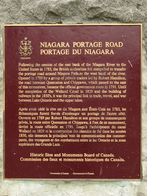
Photo by contributor Wayne Adam - Posted December, 2009
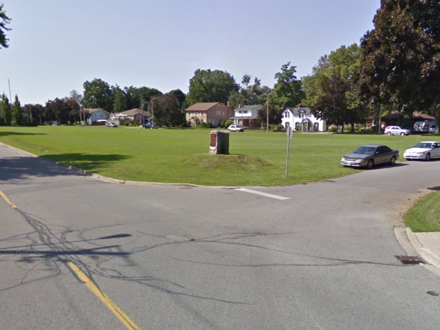
Photo from Google Street View ©2011 Google - Posted March, 2011
Plaque Location
The Region of Niagara
The City of Niagara Falls
In a park on the southwest corner of Portage Road and
Dennis Lane (the extension east of Stamford Green Drive)
Coordinates: N 43 07.537 W 79 05.952 |
 |
Plaque Text
Following the cession of the east bank of the Niagara River to the United States in 1783, the British authorities felt compelled to transfer the portage road around Niagara Falls to the west bank of the river. Opened in 1789 by a group of private traders led by Robert Hamilton, the road between Queenston and Chippawa, which passed to the east of this monument, became the official government route in 1791. Until the completion of the Welland Canal in 1829 and the building of railways in the 1850's, it was the principal link in trade, travel, and war between Lake Ontario and the upper lakes.
Related Ontario plaque
First Welland Canal 1824-1833
More
Information
More
Roads
Here are the visitors' comments for this page.
(none yet)
Here's where you can write a comment for this page.
Note: If you wish to ask me a question, please use the email link in the menu.
Note: Comments are moderated. Yours will appear on this page within 24 hours
(usually much sooner).
Note: As soon as the comment is posted, a link to it will appear on the home page in the section "Here are the 10 latest plaque pages with a new comment added by a visitor to this site."