Ontario's Historical Plaques
at ontarioplaques.com
Learn a little Ontario history as told through its plaques
The Battle of Chippawa
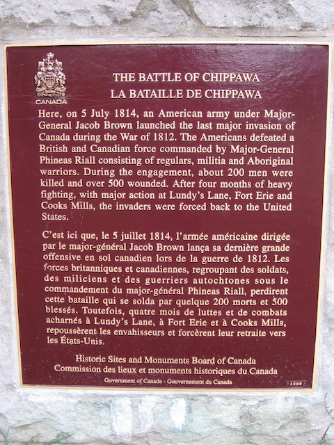
Photo by contributor Wayne Adam - Posted November, 2009
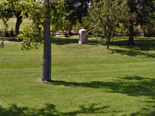
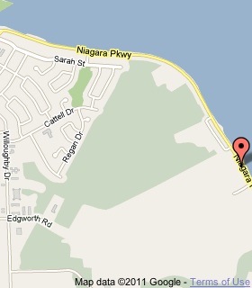
Photo from Google Street View ©2011 Google - Posted March, 2011
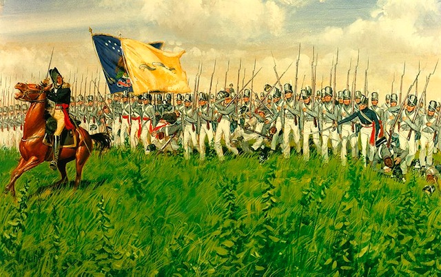
Photo Source - Wikipedia
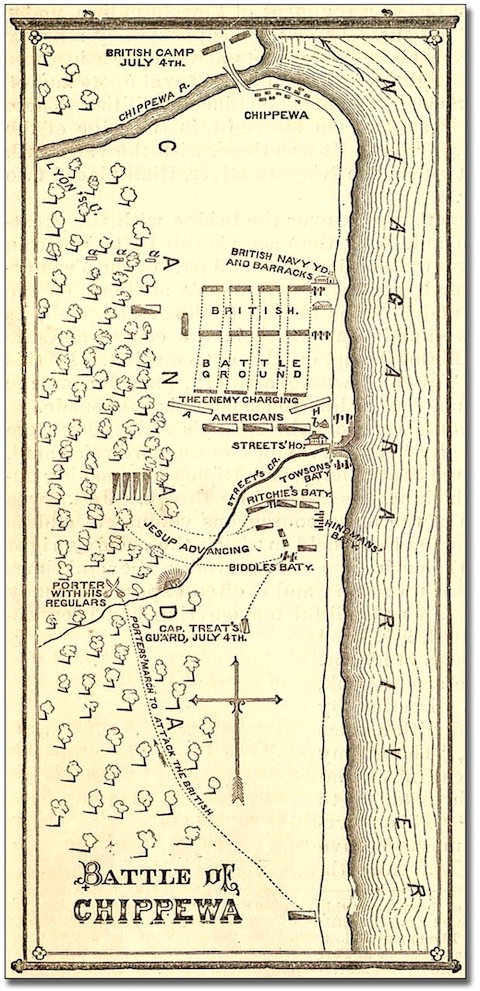
Photo Source - Wikipedia Commons
Plaque Location
The Region of Niagara
The City of Niagara Falls
On the west side of the Niagara Parkway a fair distance
in from the road attached to a large concrete block
across from a boat ramp, 2.9 km south of the bridge
over the Welland River in Chippawa
Coordinates: N 43 03.159 W 79 01.446 |
 |
Plaque Text
Here, on 5 July 1814, an American army under Major-General Jacob Brown launched the last major invasion of Canada during the War of 1812. The Americans defeated a British and Canadian force commanded by Major-General Phineas Riall consisting of regulars, militia and Aboriginal warriors. During the engagement, about 200 men were killed and over 500 wounded. After four months of heavy fighting, with major action at Lundy's Lane, Fort Erie and Cooks Mills, the invaders were forced back to the United States.
Related Ontario plaques
The Founding of Chippawa
Fort Chippawa, 1791
Battle of Lundy's Lane
Fort Erie
Battle of Cook's Mills
More
Information
More
War of 1812
Here are the visitors' comments for this page.
(none yet)
Here's where you can write a comment for this page.
Note: If you wish to ask me a question, please use the email link in the menu.
Note: Comments are moderated. Yours will appear on this page within 24 hours
(usually much sooner).
Note: As soon as the comment is posted, a link to it will appear on the home page in the section "Here are the 10 latest plaque pages with a new comment added by a visitor to this site."