at ontarioplaques.com
Learn a little Ontario history as told through its plaques
The Royal Canadian Mint
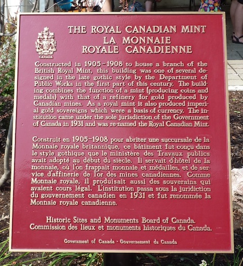
Photo by contributor Colin Old - Posted July, 2012
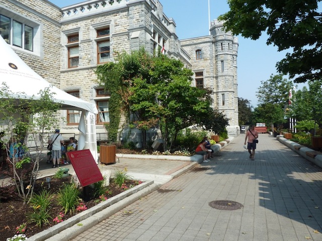
Photo by contributor Colin Old - Posted July, 2012
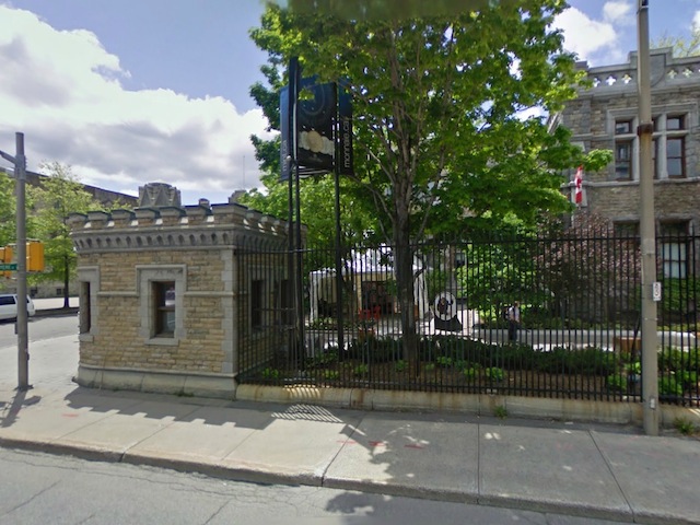
Photo from Google Street View ©2012 Google - Posted February, 2012
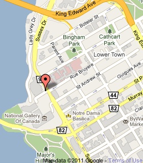
Plaque Location
The City of Ottawa
On the west side of Sussex Drive, across from Bruyere Street
Coordinates: N 45 25.872 W 75 41.916 |
 |
|
Plaque Text
Constructed in 1905-1908 to house a branch of the British Royal Mint, this building was one of several designed in the late gothic style by the Department of Public Works in the first part of this century. The building combines the function of a mint (producing coins and medals) with that of a refinery for gold produced by Canadian mines. As a royal mint it also produced imperial gold sovereigns which were a basis of currency. The institution came under the jurisdiction of the Government of Canada in 1931 and was re-named the Royal Canadian Mint.
More
Information
More
Ottawa Plaques
Here are the visitors' comments for this page.
(none yet)
Here's where you can write a comment for this page.
Note: If you wish to ask me a question, please use the email link in the menu.
Note: Comments are moderated. Yours will appear on this page within 24 hours
(usually much sooner).
Note: As soon as the comment is posted, a link to it will appear on the home page in the section "Here are the 10 latest plaque pages with a new comment added by a visitor to this site."