at ontarioplaques.com
Learn a little Ontario history as told through its plaques
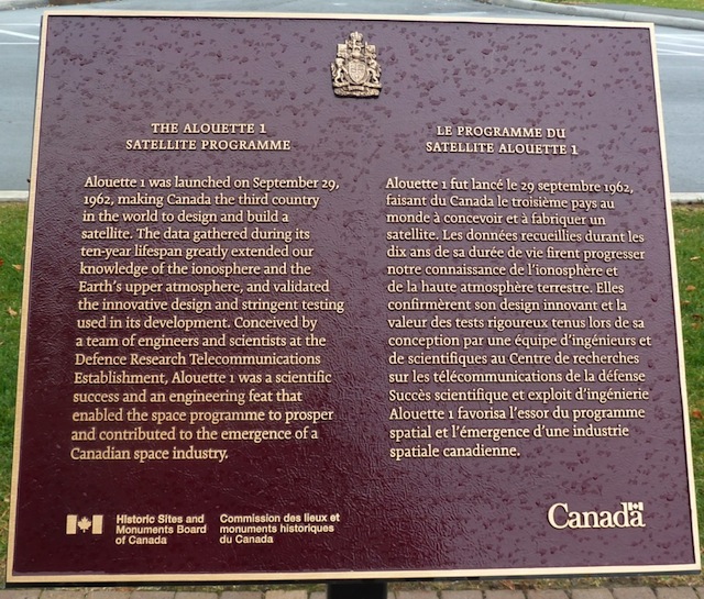
The Alouette 1 Satellite Programme
Photos by contributor Colin Old - Posted December, 2011
Plaque Location
The City of Ottawa
At the entrance to the Government of Canada's
Communications Research Centre on Carling Avenue
2.6 km east of March Road (Road 49)
Coordinates: N 45 20.697 W 75 52.975 |
Plaque Text
Alouette 1 was launched on September 29, 1962, making Canada the third country in the world to design and build a satellite. The data gathered during its ten-year lifespan greatly extended our knowledge of the ionosphere and the Earth's upper atmosphere, and validated the innovative design and stringent testing used in its development. Conceived by a team of engineers and scientists at the Defence Research Telecommunications Establishment, Alouette 1 was a scientific success and an engineering feat that enabled the space programme to prosper and contributed to the emergence of a Canadian space industry.
More
Information
More
Technology
More
Ottawa Plaques
Here are the visitors' comments for this page.
(none yet)
Here's where you can write a comment for this page.
Note: If you wish to ask me a question, please use the email link in the menu.
Note: Comments are moderated. Yours will appear on this page within 24 hours
(usually much sooner).
Note: As soon as the comment is posted, a link to it will appear on the home page in the section "Here are the 10 latest plaque pages with a new comment added by a visitor to this site."