Ontario's Historical Plaques
at ontarioplaques.com
Learn a little Ontario history as told through its plaques
"The Old Stage Road"
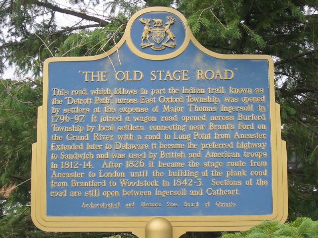
Photo by Alan L Brown - Posted August, 2004
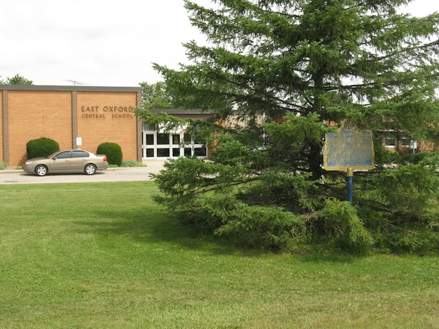
Photo by contributor Wayne Adam - Posted August, 2010
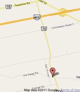
Plaque Location
The County of Oxford
The Township of South West Oxford
On Old Stage Road, just west of Road 14
3.8 km south of Towerline Road, east of Woodstock
Coordinates: N 43 06.015 W 80 38.329 |
 |
Plaque Text
This road, which follows in part the Indian trail, known as the "Detroit Path", across East Oxford Township, was opened by settlers at the expense of Major Thomas Ingersoll in 1796-97. It joined a wagon road opened across Burford Township by local settlers, connecting near Brant's Ford on the Grand River with a road to Long Point from Ancaster. Extended later to Delaware, it became the preferred highway to Sandwich and was used by British and American troops in 1812-14. After 1826 it became the stage route from Ancaster to London until the building of the plank road from Brantford to Woodstock in 1842-3. Sections of the road are still open between Ingersoll and Cathcart.
More
Roads
Here are the visitors' comments for this page.
(none yet)
Here's where you can write a comment for this page.
Note: If you wish to ask me a question, please use the email link in the menu.
Note: Comments are moderated. Yours will appear on this page within 24 hours
(usually much sooner).
Note: As soon as the comment is posted, a link to it will appear on the home page in the section "Here are the 10 latest plaque pages with a new comment added by a visitor to this site."