Ontario's Historical Plaques
at ontarioplaques.com
Learn a little Ontario history as told through its plaques
The French Portage
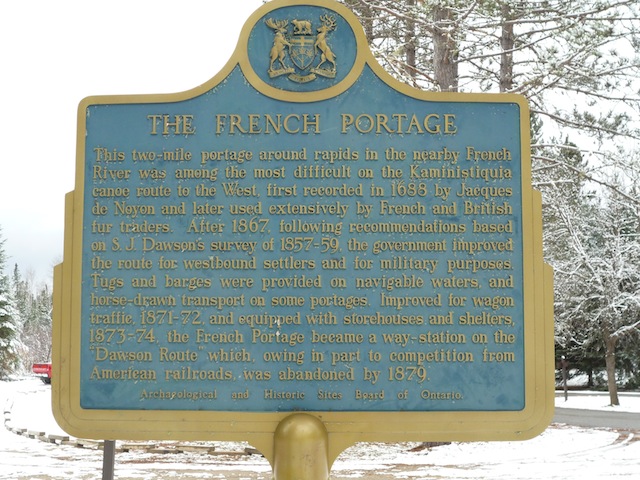
Photo by contributor Andrea Allison - Posted November, 2011
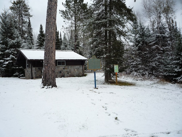
Photo by contributor Andrea Allison - Posted November, 2011
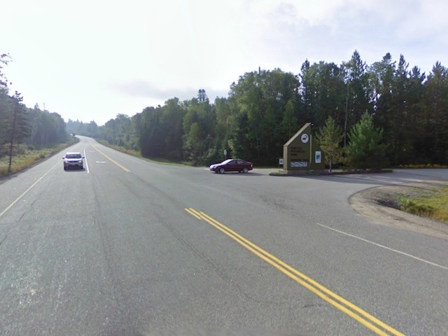
Photo from Google Street View ©2011 Google - Posted November, 2011
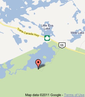
Plaque Location
The District of Rainy River
The Township of Atikokan
At Quetico Provincial Park's Dawson Trail Campgrounds
south off Highway 11, 48 km east of Atikokan
167 km west of Thunder Bay
Coordinates: N 48 39.449 W 91 09.118 |
 |
Plaque Text
This 3.2 km portage around rapids in the nearby French River was among the most difficult on the Kaministiquia canoe route to the west, first recorded in 1688 by Jacques de Noyon and later used extensively by French and British fur traders. After 1867, following recommendations based on S.J. Dawson's survey of 1857-59, the government improved the route for westbound settlers and for military purposes. Tugs and barges were provided on navigable waters, and horse-drawn transport on some portages. Improved for wagon traffic, 1871-72, and equipped with storehouses and shelters, 1873-74, the French Portage became a way-station on the "Dawson Route" which, owing in part to competition from American railroads, was abandoned by 1879.
Related Ontario plaques
Canoe Route to the West
Jacques de Noyon 1668-1745
Simon James Dawson 1820-1902
More
Portages
Here are the visitors' comments for this page.
(none yet)
Here's where you can write a comment for this page.
Note: If you wish to ask me a question, please use the email link in the menu.
Note: Comments are moderated. Yours will appear on this page within 24 hours
(usually much sooner).