Ontario's Historical Plaques
at ontarioplaques.com
Learn a little Ontario history as told through its plaques
Cobalt Mining Camp
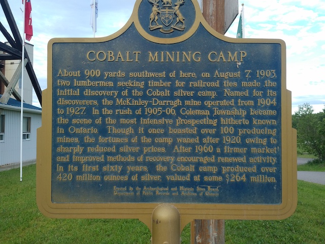
Photo by Alan L Brown - Posted July, 2006
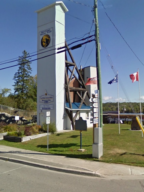
Photo from Google Street View ©2010 Google - Posted October, 2010
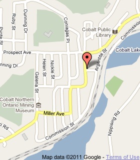
Plaque Location
The District of Timiskaming
The Town of Cobalt
On the northeast corner of
Silver Street and Grand View Avenue
I'd like to thank the good people at the Cobalt Public Library for updating me on the plaque's new location - October 2010
Coordinates: N 47 23.724 W 79 41.140 |
 |
Plaque Text
About 820 m southwest of here, on August 7, 1903, two lumbermen seeking timber for railroad ties made the initial discovery of the Cobalt silver camp. Named for its discoverers, the McKinley-Darragh mine operated from 1904 to 1927. In the rush of 1905-06, Coleman Township became the scene of the most intensive prospecting hitherto known in Ontario. Though it once boasted over 100 producing mines, the fortunes of the camp waned after 1920, owing to sharply reduced silver prices. After 1960 a firmer market and improved methods of recovery encouraged renewed activity. In its first sixty years, the Cobalt camp produced over 12 million kg of silver, valued at some $264 million.
Related Ontario plaques
Silver Islet 1868
Silver Mining in Canada
Cobalt Mining
Oliver Daunais 1836-1916
More
Information
More
Mining
Here are the visitors' comments for this page.
(none yet)
Here's where you can write a comment for this page.
Note: If you wish to ask me a question, please use the email link in the menu.
Note: Comments are moderated. Yours will appear on this page within 24 hours
(usually much sooner).