Ontario's Historical Plaques
at ontarioplaques.com
Learn a little Ontario history as told through its plaques
Founding of the Town of Latchford
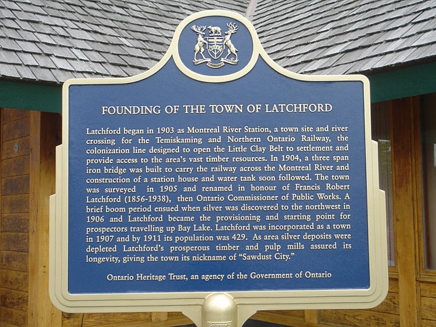
Photo by contributor Blair Olsen - Posted July, 2009
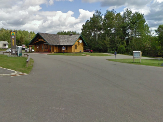
Photo from Google Street View ©2010 Google - Posted October, 2010
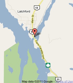
Plaque Location
The District of Timiskaming
The Town of Latchford
In the picnic area just north of the
Montreal River bridge on Highway 11
Coordinates: N 47 19.354 W 79 48.585 |
 |
Plaque Text
Latchford began in 1903 as Montreal River Station, a town site and river crossing for the Temiskaming and Northern Ontario Railway, the colonization line designed to open the Little Clay belt to settlement and provide access to the area's vast timber resources. In 1904, a three span iron bridge was built to carry the railway across the Montreal River and construction of a station house and water tank soon followed. The town was surveyed in 1905 and renamed in honour of Francis Robert Latchford (1856-1938), then Ontario Commissioner of Public Works. A brief boom period ensued when silver was discovered to the northwest in 1906 and Latchford became the provisioning and starting point for prospectors travelling up Bay Lake. Latchford was incorporated as a town in 1907 and by 1911 its population was 429. As area silver deposits were depleted Latchford's prosperous timber and pulp mills assured its longevity, giving the town its nickname of "Sawdust City".
More
Information
More
Settlements
More towns and cities in the District of Timiskaming
Englehart
New Liskeard
Swastika
Here are the visitors' comments for this page.
(none yet)
Here's where you can write a comment for this page.
Note: If you wish to ask me a question, please use the email link in the menu.
Note: Comments are moderated. Yours will appear on this page within 24 hours
(usually much sooner).
Note: As soon as the comment is posted, a link to it will appear on the home page in the section "Here are the 10 latest plaque pages with a new comment added by a visitor to this site."