Here's where you can learn a little Ontario history
The Founding of Erin
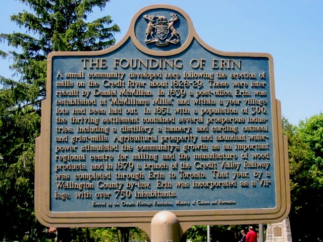
Photo by Alan L Brown - June, 2004
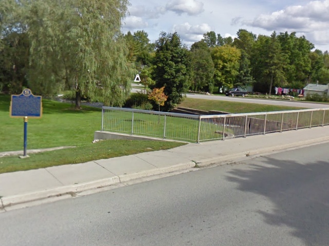
Photo from Google Street View ©2010 Google - October, 2010
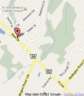
Plaque Location
The County of Wellington
The Town of Erin
In Erin, on the east side of Main Street just north of Water Street
Coordinates: N 43 46.080 W 80 03.642 |
 |
Plaque Text
A small community developed here following the erection of mills on the Credit River about 1828-29. These were later rebuilt by Daniel McMillan. In 1839 a post-office, Erin, was established at "McMillan's Mills", and within a year village lots had been laid out. In 1851, with a population of 300 the thriving settlement contained several prosperous industries, including a distillery, a tannery, and carding, oatmeal and grist-mills. Agricultural prosperity and abundant waterpower stimulated the community's growth as an important regional centre for milling and the manufacture of wood products, and in 1879 a branch of the Credit Valley Railway was completed through Erin to Toronto. That year, by a Wellington County by-law, Erin was incorporated as a Village, with over 750 inhabitants.
More
Information
More
Settlements
Here are the comments for this page.
(none yet)
Here's where you can write a comment for this page.
Note: If you wish to ask me a question, please use the email link in the menu.
Note: Comments are moderated. Yours will appear on this page within 24 hours
(usually much sooner).