Ontario's Historical Plaques
at ontarioplaques.com
Learn a little Ontario history as told through its plaques
Lloydtown
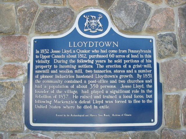
Photo by Alan L Brown - Posted April, 2004
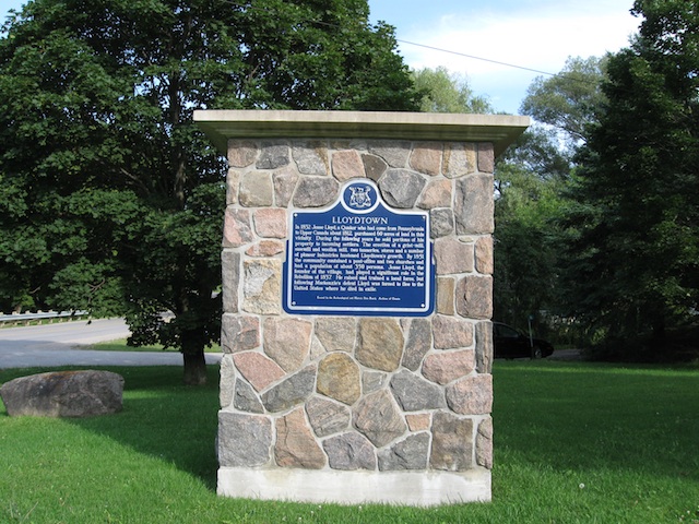
Photo Source - Wikipedia
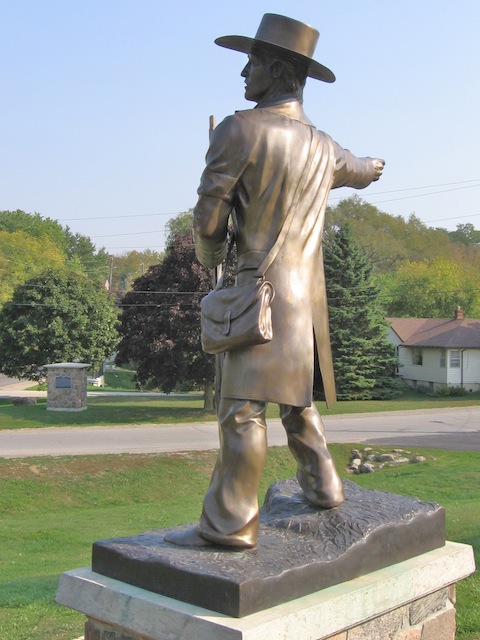
Photo by contributor Wayne Adam - Posted April, 2012
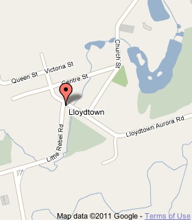
Plaque Location
The Region of York
The Township of King
In Lloydtown, on the southwest corner of
Little Rebel Road and Lloydtown-Aurora Road
1.8 km west of the intersection of
Highway 27 and Lloydtown-Aurora Road
Coordinates: N 43 59.408 W 79 41.730 |
 |
Plaque Text
In 1832 Jesse Lloyd, a Quaker who had come from Pennsylvania to Upper Canada about 1812, purchased 24 ha of land in this vicinity. During the following years he sold portions of his property to incoming settlers. The erection of a grist-mill, sawmill and woolen mill, two tanneries, stores and a number of pioneer industries hastened Lloydtown's growth. By 1851 the community contained a post-office and two churches and had a population of about 350 persons. Jesse Lloyd, the founder of the village, had played a significant role in the rebellion of 1837. He raised and trained a local force, but following MacKenzie's defeat Lloyd was forced to flee to the United States where he died in exile.
More
Information
More
Settlements
Here are the visitors' comments for this page.
(none yet)
Here's where you can write a comment for this page.
Note: If you wish to ask me a question, please use the email link in the menu.
Note: Comments are moderated. Yours will appear on this page within 24 hours
(usually much sooner).