Ontario's Historical Plaques
at ontarioplaques.com
Learn a little Ontario history as told through its plaques
The Founding of Stouffville
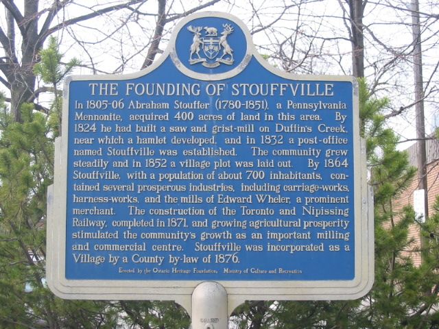
Photo by Alan L Brown - Posted April, 2004
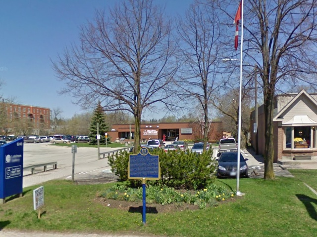
Photo from Google Street View ©2010 Google - Posted November, 2010
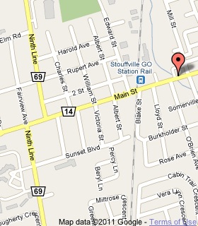
Plaque Location
The Region of York
The Town of Whitchurch-Stouffville
On the north side of Main Street (Road 14)
2 blocks east of the Stouffville GO Station
Coordinates: N 43 58.274 W 79 14.865 |
 |
Plaque Text
In 1805-06 Abraham Stouffer (1780-1851), a Pennsylvania Mennonite, acquired 160 ha of land in this area. By 1824 he had built a saw and grist-mill on Duffin's Creek, near which a hamlet developed, and in 1832 a post-office named Stouffville was established. The community grew steadily and in 1852 a village plot was laid out. By 1864 Stouffville, with a population of about 700 inhabitants, contained several prosperous industries, including carriage-works, harness-works, and the mills of Edward Wheler, a prominent merchant. The construction of the Toronto and Nipissing Railway, completed in 1871, and growing agricultural prosperity stimulated the community's growth as an important milling and commercial centre. Stouffville was incorporated as a Village by a County by-law of 1876.
Related Ontario plaque
First Mennonite Settlement
More
Information
More
Settlements
Here are the visitors' comments for this page.
(none yet)
Here's where you can write a comment for this page.
Note: If you wish to ask me a question, please use the email link in the menu.
Note: Comments are moderated. Yours will appear on this page within 24 hours
(usually much sooner).