Here's where you can learn a little Ontario history
Elliot Lake Mining Camp
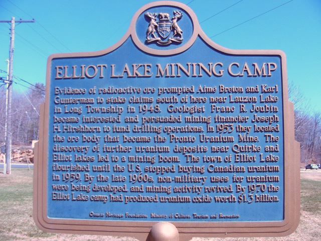
Photo by contributor Dawn Monroe - June, 2005
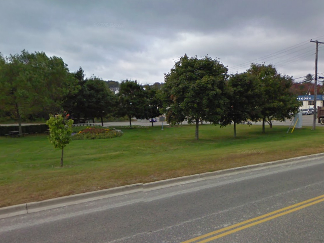
Photo from Google Street View ©2011 Google - January, 2011
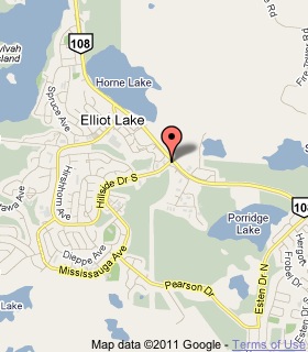
Plaque Location
The District of Algoma
The City of Elliot Lake
At the southeast corner of the junction of
Highway 108 and Hillside Drive South
Coordinates: N 46 22.935 W 82 38.516 |
 |
Plaque Text
Evidence of radioactive ore prompted Aimé Breton and Karl Gunterman to stake claims south of here near Lauzon Lake in Long Township in 1948. Geologist Franc R. Joubin became interested and persuaded mining financier Joseph H. Hirshhorn to fund drilling operations. In 1953 they located the ore body that became the Pronto Uranium Mine. The discovery of further uranium deposits near Quirke and Elliot lakes led to a mining boom. The town of Elliot Lake flourished until the U.S. stopped buying Canadian uranium in 1959. By the late 1960s, non-military uses for uranium were being developed and mining activity revived. By 1970 the Elliot Lake camp had produced uranium oxide worth $1.3 billion.
More
Information
More
Settlements
Here are the comments for this page.
(none yet)
Here's where you can write a comment for this page.
Note: If you wish to ask me a question, please use the email link in the menu.
Note: Comments are moderated. Yours will appear on this page within 24 hours
(usually much sooner).