Ontario's Historical Plaques
at ontarioplaques.com
Learn a little Ontario history as told through its plaques
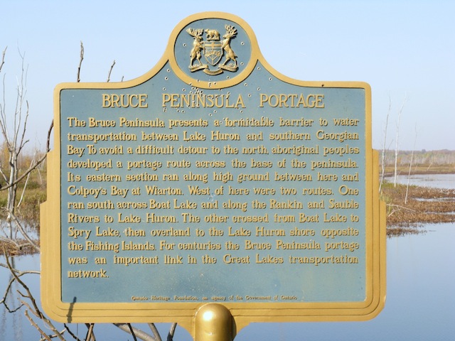
Bruce Peninsula Portage
Photos by contributor Wayne Adam - Posted October, 2011
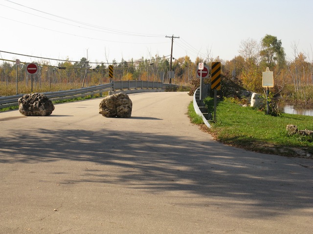
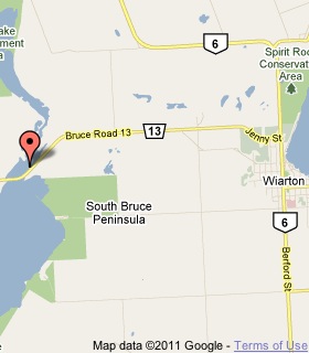
Plaque Location
The County of Bruce
The Town of South Bruce Peninsula
On Road 13, 6.5 km west of Highway 6 in Wiarton
on the shore of a lake at a parking area
on the north side of the road at street number 3209
Coordinates: N 44 44.671 W 81 13.190 |
 |
Plaque Text
The Bruce Peninsula presents a formidable barrier to water transportation between Lake Huron and southern Georgian Bay. To avoid a difficult detour to the north, aboriginal peoples developed a portage route across the base of the peninsula. Its eastern section ran along high ground between here and Colpoy's Bay at Wiarton. West of here were two routes. One ran south across Boat Lake and along the Rankin and Sauble Rivers to Lake Huron. The other crossed from Boat Lake to Spry Lake, then overland to the Lake Huron shore opposite the Fishing Islands. For centuries the Bruce Peninsula portage was an important link in the Great Lakes transportation network.
More
Portages
Here are the visitors' comments for this page.
(none yet)
Here's where you can write a comment for this page.
Note: If you wish to ask me a question, please use the email link in the menu.
Note: Comments are moderated. Yours will appear on this page within 24 hours
(usually much sooner).
Note: As soon as the comment is posted, a link to it will appear on the home page in the section "Here are the 10 latest plaque pages with a new comment added by a visitor to this site."