Ontario's Historical Plaques
at ontarioplaques.com
Learn a little Ontario history as told through its plaques
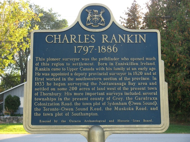
Charles Rankin 1797-1886
Photos by contributor Wayne Adam - Posted October, 2011
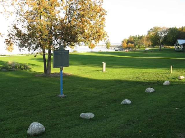
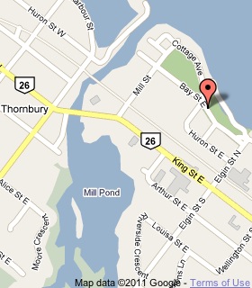
Plaque Location
The County of Grey
The Town of The Blue Mountains
In Thornbury, at a park on the lake on Bay Street East
west of Elgin Street North
Coordinates: N 44 33.707 W 80 26.734 |
 |
Plaque Text
This pioneer surveyor was the pathfinder who opened much of this region to settlement. Born in Enniskillen, Ireland, Rankin came to Upper Canada with his family at an early age. He was appointed a deputy provincial surveyor in 1820 and at first worked in the southwestern section of the province. In 1833 he began surveying the Nottawasaga Bay area and settled on some 80 ha of land west of the present town of Thornbury. His more important surveys included; several townships in the present county of Grey; the Garafraxa Colonization Road; the town plot of Sydenham (Owen Sound); the Toronto-Owen Sound Road; the Muskoka Road; and the town plot of Southampton.
Related Ontario plaque
The Toronto-Sydenham Road
More
Information
More
Surveyors
Here are the visitors' comments for this page.
(none yet)
Here's where you can write a comment for this page.
Note: If you wish to ask me a question, please use the email link in the menu.
Note: Comments are moderated. Yours will appear on this page within 24 hours
(usually much sooner).