Ontario's Historical Plaques
at ontarioplaques.com
Learn a little Ontario history as told through its plaques
The Founding of St. Catharines
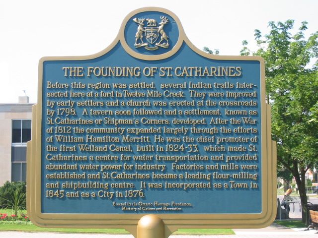
Photo by Alan L Brown - Posted August, 2004
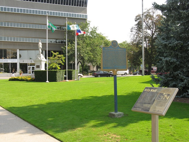
Photo by contributor Wayne Adam - Posted November, 2010
Plaque Location
The Region of Niagara
The City of St. Catharines
On the southwest corner of Church and James Streets
Coordinates: N 43 09.573 W 79 14.837 |
Plaque Text
Before this region was settled, several Indian trails intersected here at a ford in Twelve Mile Creek. They were improved by early settlers and a church was erected at the crossroads by 1798. A tavern soon followed and a settlement, known as St. Catharines or Shipman's Corners developed. After the War of 1812 the community expanded largely through the efforts of William Hamilton Merritt. He was the chief promoter of the first Welland Canal, built in 1824-33, which made St. Catharines a centre for water transportation and provided abundant water power for industry. Factories and mills were established and St. Catharines became a leading flour-milling and shipbuilding centre. It was incorporated as a Town in 1845 and as a City in 1876.
Related Ontario plaques
William Hamilton Merritt 1793-1862
The First Welland Canal 1824-1833
More
Information
More
Settlements
More towns and cities in Niagara Region
Chippawa
Port Colborne
Port Robinson
Queenston
Thorold
Here are the visitors' comments for this page.
(none yet)
Here's where you can write a comment for this page.
Note: If you wish to ask me a question, please use the email link in the menu.
Note: Comments are moderated. Yours will appear on this page within 24 hours
(usually much sooner).
Note: As soon as the comment is posted, a link to it will appear on the home page in the section "Here are the 10 latest plaque pages with a new comment added by a visitor to this site."