Ontario's Historical Plaques
at ontarioplaques.com
Learn a little Ontario history as told through its plaques
Fort Chippawa, 1791
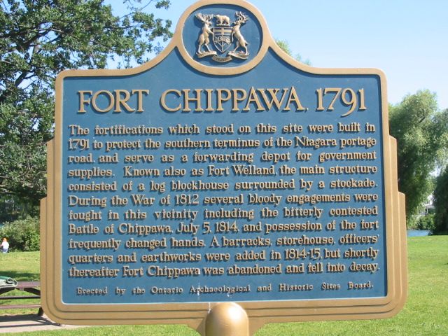
Photo by Alan L Brown - Posted August, 2004
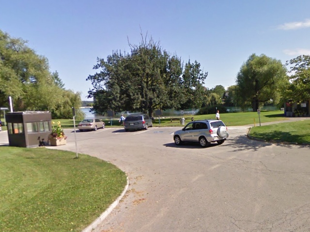
Photo from Google Street View ©2010 Google - Posted December, 2010
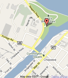
Plaque Location
The Region of Niagara
The City of Niagara Falls
In Chippawa, near the parking area near the entrance
to King's Bridge Park on the Niagara Parkway
just east of the bridge over the Welland River
Coordinates: N 43 03.775 W 79 03.021 |
 |
Plaque Text
The fortifications which stood on this site were built in 1791 to protect the southern terminus of the Niagara portage road, and serve as a forwarding depot for government supplies. Known also as Fort Welland, the main structure consisted of a log blockhouse surrounded by a stockade. During the War of 1812 several bloody engagements were fought in this vicinity including the bitterly contested Battle of Chippawa, July 5, 1814, and possession of the fort frequently changed hands. A barracks, storehouse, officers' quarters and earthworks were added in 1814-15, but shortly thereafter Fort Chippawa was abandoned and fell into decay.
Related Ontario plaques
The Founding of Chippawa
The Battle of Chippawa
More
Information
More
War of 1812
More
The Military
Here are the visitors' comments for this page.
Posted December 6, 2008
love your web site but need more info on the tribe its self
Here's where you can write a comment for this page.
Note: If you wish to ask me a question, please use the email link in the menu.
Note: Comments are moderated. Yours will appear on this page within 24 hours
(usually much sooner).