Ontario's Historical Plaques
at ontarioplaques.com
Learn a little Ontario history as told through its plaques
Cobalt Mining
Photos by contributor Parks Canada - Posted November, 2011
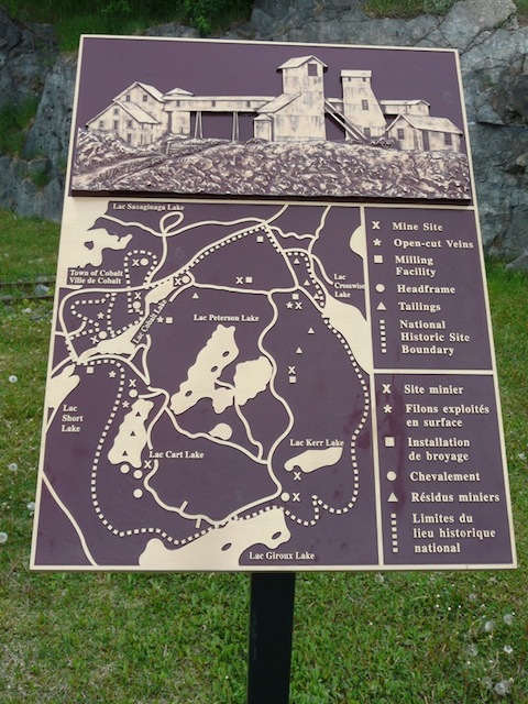
Photo from Google Street View ©2011 Google - Posted November, 2011
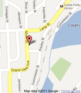
Plaque Location
The District of Timiskaming
The Town of Cobalt
On the east side of Silver Street just south of Lang Street
Coordinates: N 47 23.735 W 79 41.140 |
 |
Plaque Text
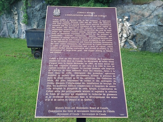
Cobalt played a decisive role in the evolution of hard-rock mining in Canada. Between 1903 and the 1920's, the district's rich veins triggered a mining boom which attracted international attention and led to Cobalt's emergence as the silver capital of the world. The history of the industry is written in the surrounding landscape. Open-cuts carved from the rock by hand reflect the earliest surface mining operations. Mining shafts, sunk as operations expanded, are marked by the presence of headframes. Concrete foundations, massive rockpiles and remnants of tailings indicate the location of milling facilities for processing ore on site. Cobalt's former prosperity is still visible in the substantial commercial and financial buildings dominating the town centre. Ultimately, the operations at Cobalt established a cadre of mining professionals and a pool of capital, which sparked further mining exploration and proved invaluable in the development of large-scale gold and copper mining in Ontario and Quebec.
Related Ontario plaques
Silver Islet 1868
Silver Mining in Canada
Cobalt Mining Camp
Oliver Daunais 1836-1916
More
Information
More
Mining
Here are the visitors' comments for this page.
(none yet)
Here's where you can write a comment for this page.
Note: If you wish to ask me a question, please use the email link in the menu.
Note: Comments are moderated. Yours will appear on this page within 24 hours
(usually much sooner).