Ontario's Provincial Plaques
Here's where you can learn a little Ontario history.
The Forty-Ninth Parallel
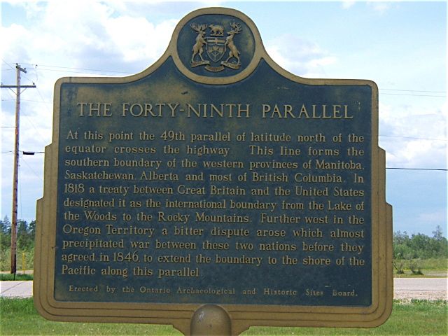
Photo by Ronald Kirkbride and Murray Wilson - June 6, 2006
Plaque Location
The District of Cochrane
The Town of Cochrane
On Highway 11, where the 49th parallel crosses the thoroughfare, about 6 km south of Cochrane
Plaque Text
At this point the 49th parallel of latitude north of the equator crosses the highway. This line forms the southern boundary of the western provinces of Manitoba, Saskatchewan, Alberta and most of British Columbia. In 1818 a treaty between Great Britain and the United States designated it as the international boundary from the Lake of the Woods to the Rocky Mountains. Further west in the Oregon Territory a bitter dispute arose which almost precipitated war between these two nations before they agreed in 1846 to extend the boundary to the shore of the Pacific along this parallel.
Here's More
Information
Related pages:
International Boundary
Niven's Meridian
Ontario Boundary Dispute
Here are the comments for this page.
(none yet)
Write a comment for this page.
(Note: If you wish to ask me a question, please use the email link in the menu.)
Note: Comments are moderated. Yours will appear on this page within 24 hours (usually much sooner).