Ontario's Historical Plaques
at ontarioplaques.com
Learn a little Ontario history as told through its plaques
The Founding of Hastings
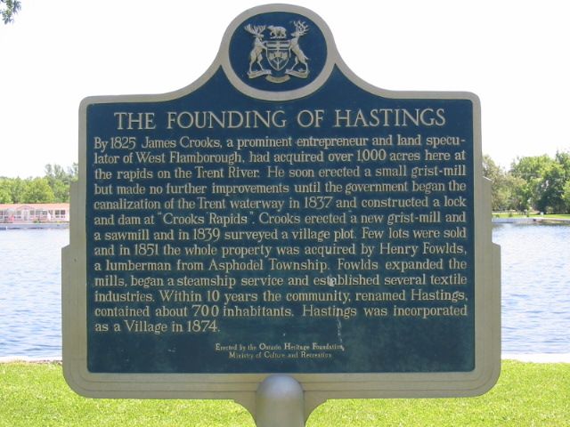
Photo by Alan L Brown - Posted July, 2005
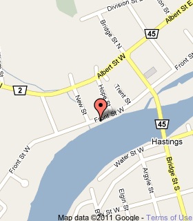
Plaque Location
The County of Northumberland
The Municipality of Trent Hills
In Hastings, on the south side of Front Street West
between Hope Street and New Street
Coordinates: N 44 18.481 W 77 57.597 |
 |
Plaque Text
By 1825 James Crooks, a prominent entrepreneur and land speculator of West Flamborough, had acquired over 400 ha here at the rapids on the Trent River. He soon erected a small grist-mill but made no further improvements until the government began the canalization of the Trent waterway in 1837 and constructed a lock and dam at "Crooks Rapids". Crooks erected a new grist-mill and a sawmill and in 1839 surveyed a village plot. Few lots were sold and in 1851 the whole property was acquired by Henry Fowlds, a lumberman from Asphodel Township. Fowlds expanded the mills, began a steamship service and established several textile industries. Within 10 years the community, renamed Hastings, contained about 700 inhabitants. Hastings was incorporated as a village in 1874.
Related Ontario plaque
Trent Canal
More
Information
More
Settlements
More towns and cities in Northumberland County
Campbellford
Cobourg
Colborne
Gore's Landing
Harwood
Port Hope
Here are the visitors' comments for this page.
(none yet)
Here's where you can write a comment for this page.
Note: If you wish to ask me a question, please use the email link in the menu.
Note: Comments are moderated. Yours will appear on this page within 24 hours
(usually much sooner).
Note: As soon as the comment is posted, a link to it will appear on the home page in the section "Here are the 10 latest plaque pages with a new comment added by a visitor to this site."